 Santuario Chiquito
From the Neusa Reservoir to Cerro Santuario, against the clock
The Neusa–Cerro Santuario Hill-Climb Time Trial is an individual mountain cycling time trial. Each rider starts at an assigned time and is timed between the starting point, the Neusa Reservoir, and the finish at the summit, Cerro Santuario, the highest point in the territory.
There are 4 rounds a year, one per quarter, which together make up the hill-climb season. Like the trail running and eco hikes on the reserve, each round is an active conservation tool: the income sustains the care of the páramo and becomes direct income for the local community.
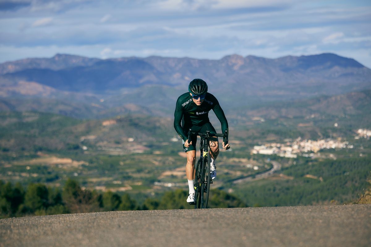
Next round: November 28, 2026. There are 4 rounds a year, on the 2nd Saturday of January, April, July and October. The course starts at the Neusa Reservoir and climbs to Cerro Santuario, on a road or mountain bike depending on the official rules once confirmed.
Race logistics
- Starting point: Neusa Reservoir — schedule and logistics to be defined
- Finish: the summit of Cerro Santuario
- Kits, hydration and checkpoints: [PENDING CONFIRMATION]
Judges and safety
- Timekeepers at the start and finish for every rider
- Support and a safety escort along the whole course
- Emergency and evacuation protocol: [PENDING CONFIRMATION]
The best times of each round are rewarded. Categories, podium and specific prizes: [PENDING CONFIRMATION]. No prizes or categories will be made up until that information is confirmed.
The hill that crowns this hill-climb time trial is popularly, colloquially and wrongly known in the region as “Condepatula”. It is a misnomer that spread through use, but it is neither its official nor its historical name.
Its real, official and historical name is Cerro Santuario, the same name that gives its identity to this reserve and to all the territory around it, within the Páramo de Guerrero, in Cundinamarca. Restoring and showing that name in every round of the hill-climb time trial is also a way of conserving the region’s memory and history, not just its ecosystem.
[Expansion pending: a detailed historical and cultural account of the region and Cerro Santuario, with sources and confirmed information.]
Cerro Santuario sits right on the continental water divide between Pacho and Tausa. The territory works as a true “water factory” that supplies two large watersheds: the Upper Río Bogotá Basin and the Upper Río Negro Basin. Each round supports the protection of 4.2 km of water margins and of 7 bodies of water and springs in the territory, including the direct source of the Río Negro. Cycling up to the finish is, quite literally, climbing to the point where the water that reaches both basins is born. Discover the whole territory we protect →
Cerro Santuario, the finish of this event, is the highest point of a territory that sends water to 2 basins. These are the 7 real bodies of water it protects, and the wildlife associated with them:
The 7 bodies of water in the territory, using the same data published at /turismo-conservacion-paramo-guerrero/.
Illustrative photos — a real photo of each species in the reserve is pending.
Rate
Use the “Book now” button on this page to choose a date and the number of people. The total is calculated instantly.